 how-to
Confident Decision-Making for Remote Land Buyers
Table of Contents
- Why Remote Land Buyers Struggle With Confidence
- Define Your Investment Objectives Before You Search
- The Remote Land Due Diligence Checklist That Prevents Bad Buys
- Aerial Site Analysis for Land Development: What Drone Data Reveals
- Running a Land Development Feasibility Study From a Distance
- Managing Holding Costs and Financial Risk
- Psychological Biases That Sabotage Remote Land Decisions
- Frequently Asked Questions
Last Updated: October 2, 2026
Why Remote Land Buyers Struggle With Confidence
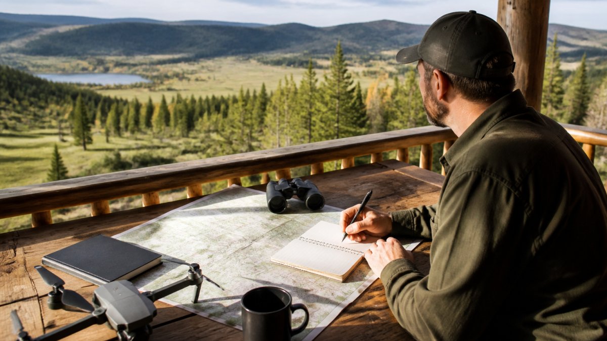
Buying land from another state is a leap of faith, and most remote land buyers feel it. You cannot walk the parcel or see what sits just over the ridge, and that gap is where doubt creeps in.
Land development adds pressure. Raw land has no roof to inspect; its value lives in what you can build, which depends on rules, roads, and utilities you cannot see from a listing photo.
At Lake County Aerial Solutions, we work with out-of-state buyers who need real answers before they wire a deposit. This guide covers the steps that turn uncertainty into confident decision-making for remote property buyers for land development.
The Information Gap That Costs Buyers Money
The core problem is simple: sellers know more than you do. They have walked the land and read the county files. You have a listing and a few photos.
That gap shows up in predictable ways:
- Acreage that looks buildable but sits in a floodplain
- A "ready to build" lot with no utility easement
- Access roads that cross someone else's property
- Zoning that blocks the project you had in mind
Each can stall a project for months; some kill it outright. The fix is better information, gathered before you commit.
According to the USDA Natural Resources Conservation Service, soil and drainage data are publicly available for most parcels. Most buyers never look.
Define Your Investment Objectives Before You Search
Confidence starts with a clear goal, not a clear listing. Know what you want the land to do before you shop.
Ask yourself these questions first:
- What is the timeline? A quick flip needs different land than a long hold.
- What is the exit strategy? Resale, development, or a personal build?
- What is the budget, including holding costs? Taxes, insurance, and upkeep run every year.
- How much risk can you absorb? Entitlement delays are common and costly.
Write your answers down. A written objective keeps you from falling for a pretty parcel that does not fit your plan, and from searching first and defining goals later.
The Remote Land Due Diligence Checklist That Prevents Bad Buys
A remote land due diligence checklist replaces guesswork with a fixed set of checks you run on every parcel. Copy and reuse this one:
- Confirm the legal description and parcel boundaries
- Pull the zoning designation and permitted uses
- Check flood zone status on the county map
- Verify road access and any recorded easements
- Confirm utility availability: power, water, sewer or septic
- Review soil and drainage reports
- Order a title search for liens and encumbrances
- Check for wetlands, protected habitat, or historic designations
- Review recent sales of comparable parcels
- Confirm property taxes and any special assessments
Run every parcel through the same list. Consistency protects you.
Zoning and Entitlement Risk Assessment
Zoning is the biggest hidden risk in land development: it decides what you can build, how dense it can be, and how long approval takes. Entitlement risk is the chance the county denies your plan or approves it with costly conditions. A parcel zoned for one house per acre will not support a townhome project.
Before you buy, do these three things:
- Call the county planning office and confirm the current zoning.
- Ask what the approval process looks like for your intended use.
- Request any recent variance or rezoning decisions nearby.
The U.S. Environmental Protection Agency's smart growth resources explain how local land use rules shape development. Local planners are the final word.
Aerial Site Analysis for Land Development: What Drone Data Reveals
Aerial site analysis for land development shows you the parcel as it actually exists today, capturing terrain, access points, drainage patterns, and existing structures in a single pass. For remote buyers, it is often the closest thing to standing on the land; FAA Part 107 certified operators can deliver imagery and measurements within a day.
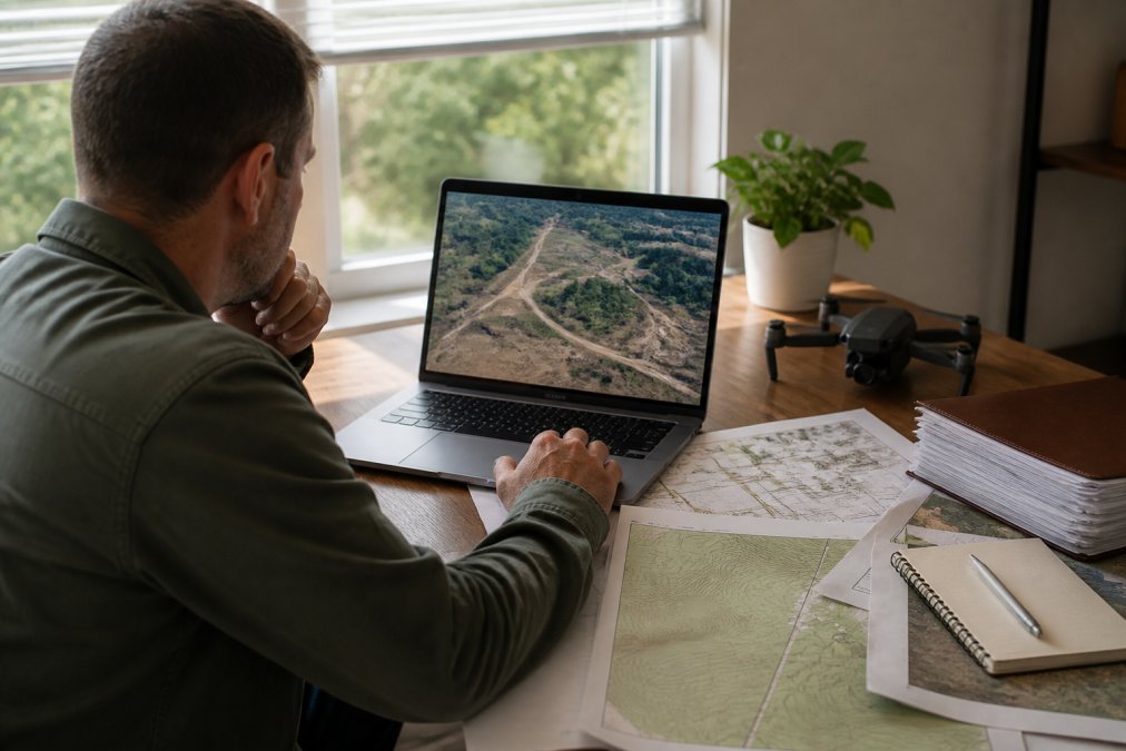
Here is what a good aerial package reveals:
- Terrain and slope: Where water pools and where a build pad fits
- Access: Whether a road or driveway is truly usable
- Vegetation and clearing: How much brush or timber you must remove
- Boundary markers: Fences, posts, and visible property lines
- Existing structures: Barns, sheds, or old foundations the listing missed
At Lake County Aerial Solutions, our FAA Part 107 certified pilots use equipment like the DJI Air 3S to capture detailed terrain imagery. We deliver accurate aerial data within 24 hours, which matters when a parcel is under contract and your inspection window is short.
One out-of-state buyer asked us to document a full neighborhood in Northwest Indiana before purchasing land. The aerial footage showed a drainage issue the seller had not mentioned. That single flight changed the negotiation.
Running a Land Development Feasibility Study From a Distance
A land development feasibility study answers one question: can this parcel support your project at a cost that works? You can run most of it from your desk:
- Confirm the highest and best use allowed by zoning.
- Estimate site work costs: clearing, grading, utilities, and roads.
- Check utility capacity with the local provider, not just availability.
- Model the numbers with a simple spreadsheet: land cost, site work, soft costs, and projected value.
- Stress-test the plan with slower timelines and higher costs.
A feasibility study is not a guarantee but a filter: it tells you which parcels deserve a second look and which to walk away from.
Managing Holding Costs and Financial Risk
Land costs money even when nothing is happening on it. Property taxes, insurance, and loan payments keep running while you wait on permits, and on a development parcel, the wait is the risk. A project that takes eighteen months to entitle instead of six multiplies the carrying cost revenue has to cover.
Budget for these holding costs before you buy:
- Annual property taxes (often higher once land is reclassified from agricultural to development use)
- Liability insurance on vacant land
- Loan interest, if financed
- Maintenance: mowing, fencing, security, and vandalism repair
- Entitlement costs: surveys, engineering, environmental studies, and filing fees
Two mechanics make land holding costs heavier than most buyers expect.
First, land loans are not home mortgages. The Federal Reserve's consumer resources on financing note that land loans typically carry higher rates and shorter terms than home mortgages, and many are structured as balloon notes that come due in a few years. A short term means you may have to refinance or sell before your project generates revenue, and if the market has cooled, you refinance on worse terms or not at all. Ask any lender for the amortization schedule and the balloon date in writing before you sign.
Second, entitlement delays compound. Every month of delay adds another month of taxes, insurance, and interest and pushes revenue further out. A parcel that pencils at six months can fail at eighteen even if construction costs never changed, which is why the reserve matters more than the purchase price.
Size your reserve with a simple rule: estimate your total holding cost per month, multiply by the months you expect, and add a delay cushion of at least six months.
Psychological Biases That Sabotage Remote Land Decisions
Remote buying amplifies bias because you have less information to correct it, and on raw land the feedback loop is slow, you may not learn a parcel was a mistake for a year or more. Four biases cause most bad land decisions, and each has a counter-tactic.
Frequently Asked Questions
What are the essential steps for remote land due diligence?
Start with a remote land due diligence checklist: verify zoning and land use restrictions, order a title search, review environmental records, confirm utility access, and commission aerial site analysis to assess topography, drainage, and existing structures. Follow with a land development feasibility study that models costs and timelines. Each step reduces the information gap that makes remote purchases risky and gives you the data to negotiate or walk away with confidence.
How can aerial photography improve land development decisions?
Aerial site analysis for land development shows what ground-level photos and satellite images miss: precise parcel boundaries, drainage patterns, vegetation density, existing easements, and access road conditions. Drone-captured data lets remote land buyers verify topography, spot potential wetlands, and measure usable acreage without traveling to the site. This visual documentation supports confident decision-making and gives you evidence to share with lenders, partners, or local officials during the approval process.
What risks should remote land buyers prioritize?
Focus on three risk categories: regulatory (zoning, entitlement, environmental restrictions), financial (holding costs, property taxes, carrying costs during development), and physical (topography, soil conditions, drainage, utility access). Remote land buyers often underestimate entitlement risk because they cannot visit planning offices in person. A thorough land development feasibility study and aerial documentation help you quantify these risks before closing, so you can price them into your offer or negotiate contingencies.
What role does FAA Part 107 certification play in property assessment?
FAA Part 107 certification ensures the drone operator flying over your prospective land parcel is legally authorized for commercial operations. Certified pilots follow airspace regulations, maintain insurance, and produce documentation that holds up in real estate transactions. When hiring an aerial provider for remote land due diligence, ask for their Part 107 certificate and proof of insurance. This protects you from liability and ensures the imagery and measurements you receive meet professional standards.