 how-to
Aerial Real Estate Photography: 2026 How-To Guide
Table of Contents
- What You'll Need Before Your First Aerial Real Estate Photography Flight
- FAA Part 107 Drone Certification: What Real Estate Agents and Pilots Must Know
- Step-by-Step: How to Shoot Aerial Real Estate Photography That Sells Listings
- Drone Roof Inspection Reports: Accurate Measurements and Documentation
- Real Estate Photography Turnaround Time: Why 24-Hour Delivery Wins Listings
- Real Estate Drone Photography Pricing: What to Expect and How to Budget
- Insurance, Liability, and Client Communication for Aerial Shoots
- Conclusion
- Frequently Asked Questions
Last Updated: September 24, 2026
What You'll Need Before Your First Aerial Real Estate Photography Flight
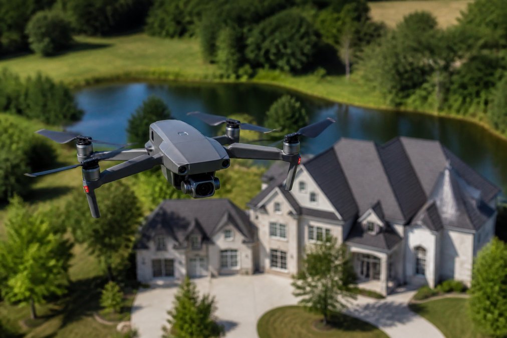
Aerial real estate photography captures property images and video from a drone to show a home's full lot, roof, and neighborhood context in one frame, helping listings sell faster. This guide from Lake County Aerial Solutions covers the gear, rules, and workflow you need.
Drone and Camera Specs That Matter for Property Listings
The specs that decide image quality are sensor size, dynamic range, and gimbal stabilization. A 1-inch sensor handles bright skies and shadowed porches in one shot; smaller sensors blow out the sky or crush shadows, and no editing fixes that.
Look for these minimums:
- Sensor: 1-inch or larger for full dynamic range
- Camera: 20MP+ stills, RAW format support
- Video: 4K at 60fps for smooth walkthroughs
- Gimbal: 3-axis stabilization for clean nadir shots
- Lens: Wide-angle, roughly 24mm equivalent
- Flight time: 30+ minutes per battery
FAA Part 107 Drone Certification: What Real Estate Agents and Pilots Must Know
FAA Part 107 is the rule set the Federal Aviation Administration requires for commercial drone work, including real estate listings. Passing the aeronautical knowledge test earns a Remote Pilot Certificate with a small unmanned aircraft systems (sUAS) rating. There is no way around it if you charge for the shoot.
A few logistics that trip people up:
- TSA screening: You must pass a Transportation Security Administration security screening before the FAA issues your certificate. This is separate from the knowledge test.
- Recurrent training: The certificate is valid for 24 months. Instead of retaking the full knowledge test, most pilots now complete the FAA's free online recurrent training course and receive a new certificate. The old "re-take the test every two years" advice is outdated.
- Remote pilot in command: Only one person can act as pilot in command for a given flight. If you fly with a visual observer, that observer does not need a certificate, but you remain responsible for the flight.
No-Fly Zones, Altitude Restrictions, and Local Airspace
Airspace rules are not optional and not uniform. The biggest difference between a hobbyist and a pro is how they handle controlled airspace.
The hard limits that always apply:
- Altitude: 400 feet above ground level maximum, unless within 400 feet of a structure and flying within its lateral footprint.
- Visual line of sight: Keep the drone in unaided sight at all times. First-person-view goggles alone do not satisfy this.
- People: Never fly over crowds or moving vehicles. Operations over people require a waiver or a drone that meets the FAA's remote identification and category requirements.
- Airspace: Check for controlled zones and temporary flight restrictions before every flight.
- Registration: Any drone over 0.55 pounds must be registered with the FAA, and the registration number must be visible on the aircraft.
Step-by-Step: How to Shoot Aerial Real Estate Photography That Sells Listings
Great aerial real estate photography follows a repeatable workflow: plan the flight, fly a set shot list, and edit for consistent color. Skip a step and the images look amateur next to a ground photographer's work.
Flight Planning, Composition, and Shot Lists for Residential Properties
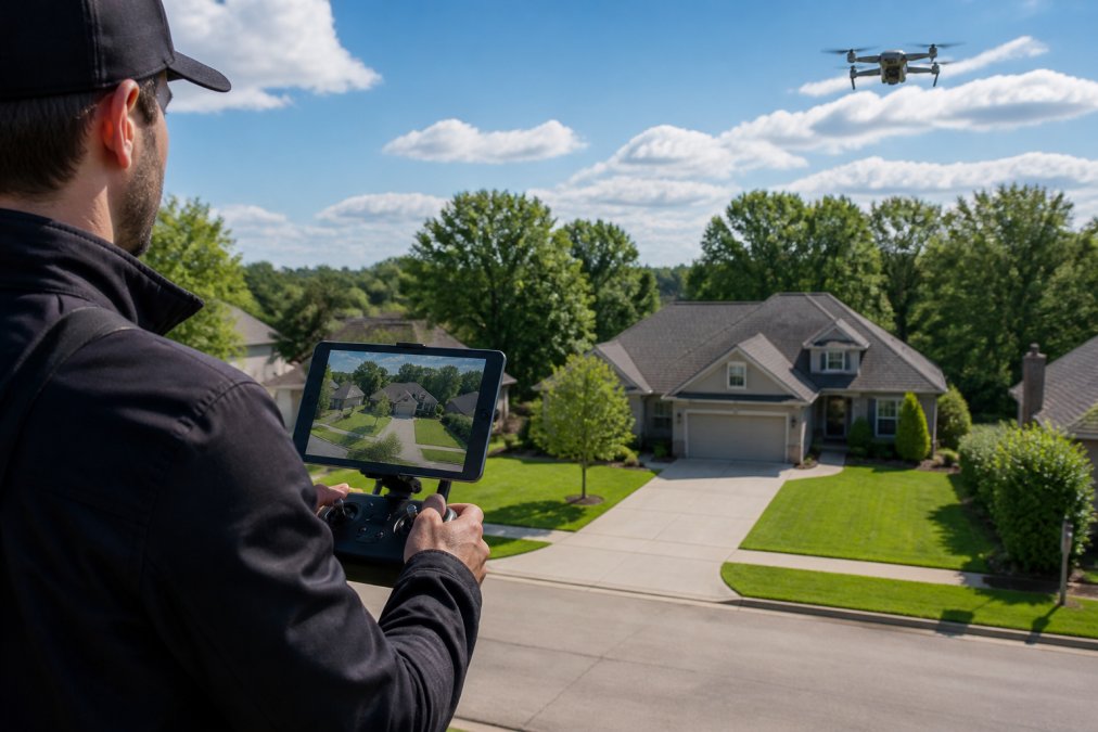
Plan the flight path before launch: walk the lot, note the sun angle, and pick a launch point so you never fly over neighbors.
A standard residential shot list covers these frames:
- Establishing shot: High oblique angle showing the home in its neighborhood context
- Front elevation: Straight-on approach at mid-height
- Nadir shot: Straight down over the roof for lot lines and property boundaries
- Rear and side angles: Two oblique passes at 45 degrees
- Lot boundaries: Wider frame showing the full parcel edge to edge
- Curb appeal close-up: Lower altitude shot of the entry and landscaping
Weather-Specific Techniques and Exposure Settings
Weather decides your settings more than any menu option. Overcast days give even light with no harsh shadows, ideal for roof detail. Bright midday sun blows highlights on south-facing walls.
Adjust for conditions:
- Bright sun: Use a fast shutter speed, low ISO, and bracket exposures
- Overcast: Slower shutter, higher ISO if needed, single exposures often work
- Golden hour: Shoot toward the sun for warm color and long shadows
- Windy days: Wait. Gusts above 20 mph blur footage and drain battery
Drone Roof Inspection Reports: Accurate Measurements and Documentation
A drone roof inspection report gives square footage, edge measurements, and photo documentation of roof condition without a ladder, turning a guess into a number for property managers and agents.
Real Estate Photography Turnaround Time: Why 24-Hour Delivery Wins Listings
Turnaround time decides whether your images make the listing or miss it. Listings go live on a schedule, and photos arriving on day three never get used. A 24-hour delivery window keeps agents in control of their launch date.
Here is how a fast workflow breaks down:
| Stage | Time | What Happens |
|---|---|---|
| Flight | 30-45 min | On-site capture of full shot list |
| Backup and cull | 1-2 hours | Transfer files, select keepers |
| Edit and color grade | 2-4 hours | HDR merge, color correction |
| Delivery | Same day | Files sent to agent |
Real Estate Drone Photography Pricing: What to Expect and How to Budget
Real estate drone photography pricing depends on job scope: number of images, video, roof reports, and delivery speed. A basic photo package costs less than a full media bundle with video and 3D mapping. But the range across markets is wide enough that a single "average price" misleads, what matters is understanding what drives the number so you can compare quotes apples to apples.
Typical price bands.
What actually drives the quote:
- Airspace complexity. A LAANC-approved grid in Class G airspace is a quick flight. A manual authorization near an airport adds hours of paperwork and may require a different shoot date.
- Travel distance. Most operators include a radius (often 20 to 30 miles) and charge a per-mile fee beyond it.
- Turnaround speed. Same-day or 24-hour delivery usually carries a premium because it forces the editor to prioritize that job over others.
- Deliverable count. Twenty edited stills is a different job than a 60-second cinematic video with licensed music and color grading.
- Add-ons. Roof reports, 3D models, twilight conversions, and vertical (social) crops are typically priced separately.
- Property size and lot complexity. A half-acre suburban lot is a 30-minute flight. A 40-acre horse property with outbuildings is a half-day.
Insurance, Liability, and Client Communication for Aerial Shoots
A simple template works:
Hi [Client],
Your aerial shoot is set for [date] at [time]. Please confirm:
- Vehicles moved from the driveway
- Gates unlocked for access
- Any no-fly requests from neighbors
Weather backup date: [date]. I will confirm by [time] the morning of the shoot.
Delivery: Edited files within 24 hours of capture.
Conclusion
Booking an aerial shoot comes down to trust: certified pilot, proper insurance, and files in your inbox when promised. Lake County Aerial Solutions handles all three. Every flight is FAA Part 107 certified and fully insured, roof reports include accurate square footage and edge measurements, and edited media lands within 24 hours using equipment like the DJI Air 3S. Get started with Lake County Aerial Solutions and put your next listing in the air.
Frequently Asked Questions
How much should I charge for aerial real estate photography?
Pricing for aerial real estate photography depends on the scope: number of photos, video length, roof report detail, and travel distance. Most providers bundle aerial shots with ground photography or sell standalone packages. For accurate rates, check the provider's pricing page or request a custom quote based on your listing's square footage and turnaround needs. Avoid flat-rate assumptions; a 2,000-square-foot home needs less flight time than a 10-acre commercial parcel.
What are the FAA Part 107 requirements for real estate drone photography?
To fly a drone for real estate photography commercially, you need an FAA Part 107 Remote Pilot Certificate. Requirements include being at least 16 years old, passing an aeronautical knowledge test at an FAA-approved center, and passing a TSA background check. You must also register your drone with the FAA if it weighs over 0.55 pounds. Part 107 pilots must follow altitude restrictions (400 feet above ground level), avoid no-fly zones, and maintain visual line of sight during all operations.
How long does it take to process and deliver aerial real estate photos?
Turnaround time for real estate photography varies by provider. Many deliver edited photos within 24 to 48 hours, while some rush same-day for an extra fee. If you need images for a listing going live quickly, confirm the provider's standard turnaround and ask about expedited options. Post-production includes color grading, exposure bracketing, and HDR blending, which takes time but ensures listing-ready quality. Always get the delivery window in writing before booking.
Do I need a license to fly a drone for real estate photography?
Yes. Any drone flight for real estate marketing is considered commercial use under FAA rules, so you need a Remote Pilot Certificate under Part 107. Recreational flyers cannot legally shoot property listings for compensation. The certificate proves you understand airspace regulations, weather, and emergency procedures. Hiring an unlicensed pilot exposes you to FAA fines and liability if something goes wrong. Always ask for proof of certification and insurance before hiring a drone operator.