 how-to
How to Choose an Aerial Solution for Commercial Property
Last Updated: October 26, 2026
Quick Summary
An aerial solution is a contracted drone service that delivers a defined visual or data product, such as edited photos, a measured roof report, or a progress video, rather than raw footage. Choose one by picking the deliverable first, then the flight, and compare providers on deliverables, turnaround, certification, insurance, and sample work before price.
- The aerial solution market is estimated at USD 5.73 billion in 2026, per Coherent Market Insights.
- A commercial drone roof inspection should document measured square footage, edge and perimeter dimensions, and imagery of every roof section.
- Aerial construction progress photography works best as dated images captured at fixed angles on a milestone cadence.
- Score providers 1 to 5 on deliverables, turnaround, certification and insurance, sample work, and price, then weight the scores.
- Ask for a one-page deliverable spec sheet listing resolution, file formats, measured data, delivery method, and licensing terms.
Table of Contents
- Start With the Deliverable, Not the Drone
- What a Commercial Drone Roof Inspection Should Document
- Planning Aerial Construction Progress Photography
- Commercial Real Estate Aerial Photography That Sells Property
- Why FAA Part 107 Drone Services Are Non-Negotiable
- How to Compare Aerial Solution Providers Before You Hire
- Budgeting for an Aerial Solution Without Guessing
- Request a Free Quote for Your First Aerial Solution Flight
- Frequently Asked Questions
Start With the Deliverable, Not the Drone
The aerial solution market is estimated at USD 5.73 billion in 2026 and projected to reach USD 17.29 billion by 2033, according to Coherent Market Insights' market-size estimate.
An aerial solution is a contracted drone service that delivers a defined visual or data product, such as edited photos, a measured roof report, or a progress video, rather than raw footage.
So before you call anyone, write down what you need in one sentence. "I need a listing video by Friday" is a brief.
Matching Deliverables to Common Commercial Use Cases
Different jobs need different outputs. Here is how the main commercial use cases map to deliverables:
| Use Case | Primary Deliverable | Typical Turnaround Need |
|---|---|---|
| Roof inspection | Report with square footage and edge measurements | Before bid deadlines |
| Construction progress | Timed photo sets or video per milestone | Weekly or monthly |
| Real estate listing | Edited photos, video, virtual drone tour | Before listing launch |
| Land evaluation | Terrain imagery and boundary visuals | Before purchase decision |
| Venue marketing | Aerial video and property highlights | Before booking season |
The imagery-services segment is expected to hold a 63.90% share of the aerial imaging market in 2026, per Fortune Business Insights' segment projection. Translation: most buyers want a finished product, not a flight log.
What a Commercial Drone Roof Inspection Should Document
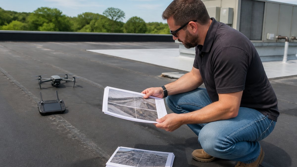
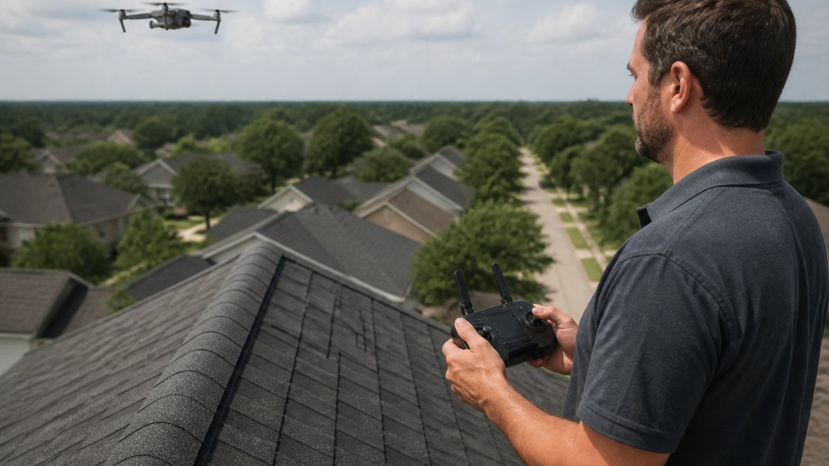
A commercial drone roof inspection should document measured square footage, edge and perimeter dimensions, and clear imagery of every roof section, not just pretty overhead shots.
Ask for these items in writing:
- Square footage broken out by roof section
- Edge and perimeter measurements
- Images of drains, penetrations, and seams
A common mistake is hiring on price alone and getting unmeasured images. For property managers juggling multiple buildings, our guide to drone roof inspections for property management covers what a full report should include.
Planning Aerial Construction Progress Photography
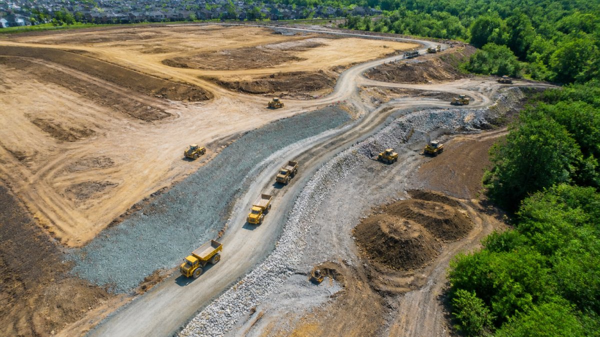
Aerial construction progress photography is a scheduled series of dated aerial images or video captured at fixed angles so each flight lines up with the last. Consistency beats resolution.
Build the plan around milestones:
- Define the flight path and camera angles once.
- Set a cadence tied to project phases, not the calendar.
- Store each set with date and location labels.
- Compare sets side by side for stakeholder updates.
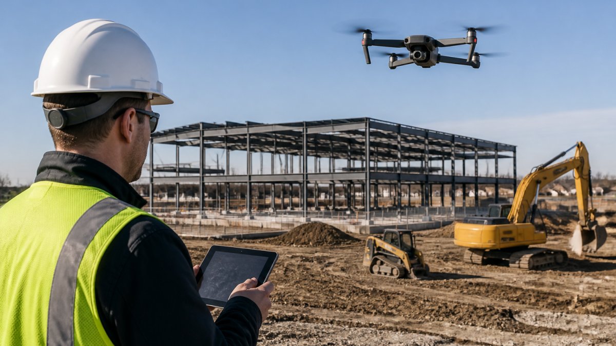
Small firms with two or three active projects benefit most from this. Fixed-angle repeat flights turn scattered job site photos into a record you can hand to owners or lenders. Before you book flights, read our guide to construction progress tracking services for the full scope.
Commercial Real Estate Aerial Photography That Sells Property
Commercial real estate aerial photography sells property when it shows context a ground camera cannot: lot lines, access roads, neighboring development, and the whole footprint in one frame.
The drones and UAVs segment is projected to account for 44.91% of the aerial imaging market in 2026, per Fortune Business Insights' platform segment data.
What separates a listing-winning set from filler:
- A hero shot showing the full property and its setting
- Low-angle frames that show scale and access
- A short aerial video for virtual drone tours
Remote buyers lean on these visuals hardest. For the deeper commercial playbook, see our article on professional aerial photography for commercial properties.
Why FAA Part 107 Drone Services Are Non-Negotiable
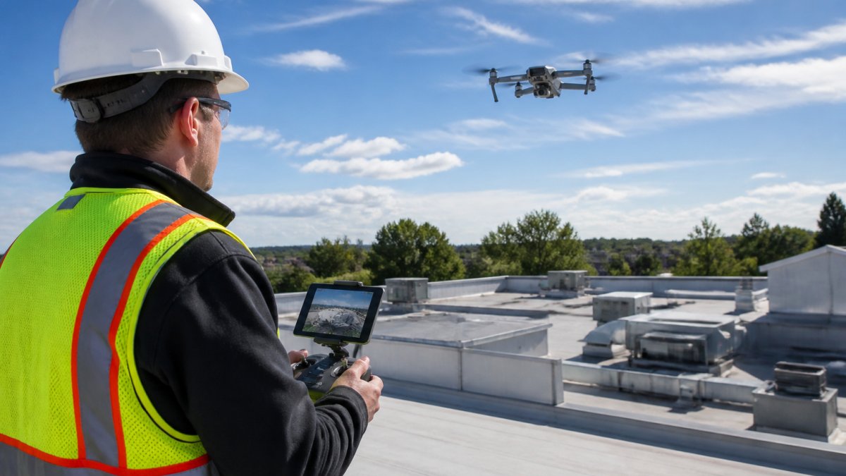
FAA Part 107 drone services are non-negotiable because commercial drone flights fall under federal rules, and a provider without certification puts your project at risk. The Federal Aviation Administration's Part 107 framework governs commercial small drone operations, including pilot certification requirements.
Ask two questions before hiring:
- Is the pilot FAA Part 107 certified?
- Is the operation insured, and can you see proof?
If something goes wrong mid-flight, an uninsured operator leaves you exposed. Certification and insurance are the baseline, not a bonus. We cover the risk side in detail in our guide asking are drone inspections fully insured.
How to Compare Aerial Solution Providers Before You Hire
Compare aerial solution providers on deliverables, turnaround, certification, insurance, and sample work, in that order. Price comes last, because a cheap flight that misses your deadline costs more than the difference. The problem is that most buyers run this comparison as a vibe check. A structured scorecard turns it into a decision.
Build a Five-Criteria Scorecard
Score each provider from 1 to 5 on the criteria below, then weight the scores. A common weighting for commercial work is deliverables 30%, turnaround 20%, certification and insurance 20%, sample work 15%, and price 15%. Adjust the weights to your project, but write them down before you call anyone so the numbers do not drift toward the friendliest salesperson.
| Criterion | What to Verify | Red Flag |
|---|---|---|
| Deliverables | Written spec: file formats, resolution, measured data, report layout | "We'll send you the footage" with no spec sheet |
| Turnaround | Stated delivery window in the quote, plus weather contingency | Verbal promises only |
| Certification and insurance | FAA Part 107 certificate number; certificate of insurance naming you as additional insured | "We're licensed" with no documents |
| Sample work | Portfolio in your property type, not just pretty landscapes | Stock footage or generic reels |
| Price | Itemized quote separating flight, editing, measurement, and travel | One lump sum with no scope |
Verify FAA Part 107 and Airspace Before You Sign
A commercial drone flight falls under the Federal Aviation Administration's Part 107 framework. Ask for the pilot's Part 107 certificate number and confirm it. Then ask how the provider checks airspace before every flight. Controlled airspace around airports often requires FAA authorization through the Low Altitude Authorization and Notification Capability (LAANC) system, and flights near stadiums, prisons, or military installations can be restricted entirely.
Demand a Deliverable Spec Sheet
The single best filter is asking for a one-page spec sheet. It should list:
- Image resolution and file format (for example, JPEG at a stated megapixel count, or TIFF for print)
- Video resolution, frame rate, and codec
- Whether measured data is included (square footage, linear measurements, orthomosaic)
Providers who have done this before will send the spec sheet within a day. Providers who have not will send a paragraph of adjectives.
Questions That Separate Professionals From Hobbyists
Professionals answer these without hesitation:
- "What sensors and equipment will you fly, and why?"
- "How do you handle a weather cancellation, and is there a re-flight fee?"
- "What file formats and resolutions do we receive?"
Hobbyists dodge specifics. The U.S. Geological Survey's overview of uncrewed aerial systems notes that these platforms open new ways to gather data for land management and Earth science. Data collection is a discipline, not a side gig, and the comparison process should treat it that way.
Budgeting for an Aerial Solution Without Guessing
Budgeting for an aerial solution starts with scope, not a rate card. Pricing depends on property size, deliverable type, travel distance, and turnaround speed. Two roof reports on similar buildings can land far apart if one needs measured edge data and the other needs photos only. The way to stop guessing is to understand the pricing models providers actually use and to build your budget from line items.
The Three Pricing Models You Will Encounter
Most providers quote in one of three ways, and each behaves differently as your project grows:
- Per-flight or per-property flat fee. A single price covers the flight and a defined deliverable. Simple to budget, but change orders for extra angles or measured data can add up.
- Per-deliverable pricing. You pay for the output, a photo set, a video, a measured roof report, separately. This is the most transparent model for multi-property portfolios because you can compare line items across providers.
- Retainer or subscription. A monthly fee covers a set number of flights, common for construction progress work. The trade-off is that unused flights usually do not roll over, so match the retainer to your actual milestone cadence.
Ask which model a provider uses before you share your address. The answer tells you whether the quote will scale predictably or surprise you.
What Drives the Number Up or Down
Four variables move the price more than anything else:
- Property size and complexity. A single flat roof is faster to capture and process than a multi-building campus with varied rooflines.
- Deliverable depth. Edited photos cost less than a measured report with square footage and edge dimensions, which in turn costs less than a survey-grade orthomosaic.
- Travel distance. Grouping jobs by location is the simplest way to cut cost, because travel time is often billed or built into the quote.
Build a Sample Budget From Line Items
Here is how we would structure a budget conversation for a three-property portfolio:
- List each property and the deliverable you need.
- Group jobs by location to cut travel time.
- Set a realistic turnaround for each deadline.
- Ask for a written quote per job, itemized by flight, editing, measurement, and travel.
- Add a contingency line for a weather re-flight.
A written quote that separates those line items lets you compare providers apples to apples. A single lump sum does not.
Watch for Scope Gaps
Watch out: assuming a low quote covers measured reports. Many cheap quotes cover flight time only, with editing and measurement billed separately. Get the scope in writing, and confirm whether the following are included or extra:
- Color correction and editing
- Measured square footage and linear dimensions
- Orthomosaic or 3D model processing
If you are still weighing whether aerial media pays for itself, our article on whether professional drone photography is worth the cost walks through the math.
Request a Free Quote for Your First Aerial Solution Flight
Your first aerial solution flight should start with a clear brief and a written quote, not a cold call and a guess.
At Lake County Aerial Solutions, we are FAA Part 107 certified and fully insured, and we deliver accurate drone data within 24 hours.
Get started with Lake County Aerial Solutions and request a free quote for your next property flight.
Frequently Asked Questions
What can a commercial drone roof inspection document?
A commercial drone roof inspection can capture high-resolution images of the full roof surface, measure square footage and edge dimensions, and flag visible damage such as ponding, membrane wear, or missing flashing. Because the aircraft flies above the structure, inspectors avoid ladder access and roof traffic. Ask the provider whether the report includes measured square footage and edge lengths, since estimate-grade imagery without measurements often forces a second site visit.
How often should construction progress be photographed from the air?
Most commercial projects benefit from aerial construction progress photography on a weekly or biweekly cadence, with extra flights around milestones like foundation pour, framing, and roof close-in. The right interval depends on how fast the site changes and who reviews the images. For a small firm running two or three active jobs, a fixed schedule tied to draw requests keeps documentation consistent and makes month-over-month comparison straightforward.
What should I look for in a commercial aerial photography provider?
Check four things: FAA Part 107 certification for every pilot on the job, liability insurance that covers commercial operations, a stated delivery window you can plan a listing around, and sample deliverables that match what you need, whether that is property highlights for a listing or measured roof reports. Ask about equipment, editing workflow, and service area coverage. A provider serving multiple counties saves you from juggling vendors across a portfolio.
How quickly can aerial photos and documentation be delivered?
Turnaround varies by provider and project scope. Some aerial solution providers commit to delivery within 24 hours for standard photography and roof reports, which matters when a listing goes live or a construction meeting is scheduled. Confirm the delivery window in writing before booking, and ask whether rush turnaround changes the price. For multi-site portfolios, ask whether flights can be batched to keep one consistent delivery schedule.
The gap between a useful aerial asset and an expensive folder of photos comes down to one decision: defining the deliverable before you hire. Send us your property details and deadline, and we will quote the job with the scope spelled out.