 how-to
Aerial Photos & Video for Civil Engineering Listings
Table of Contents
- Why Aerial Photos and Video Sell Civil Engineering Listings
- Building a Real Estate Aerial Photography Shot List
- Drone Video for Real Estate Listings: Length, Framing, and Flow
- Drone Mapping vs. Aerial Photography: Which Does the Listing Need?
- Drone Photography Pricing for Real Estate: What Drives the Quote
- How to Prepare a Site for a Drone Shoot
- Frequently Asked Questions
Last Updated: October 18, 2026
Why Aerial Photos and Video Sell Civil Engineering Listings
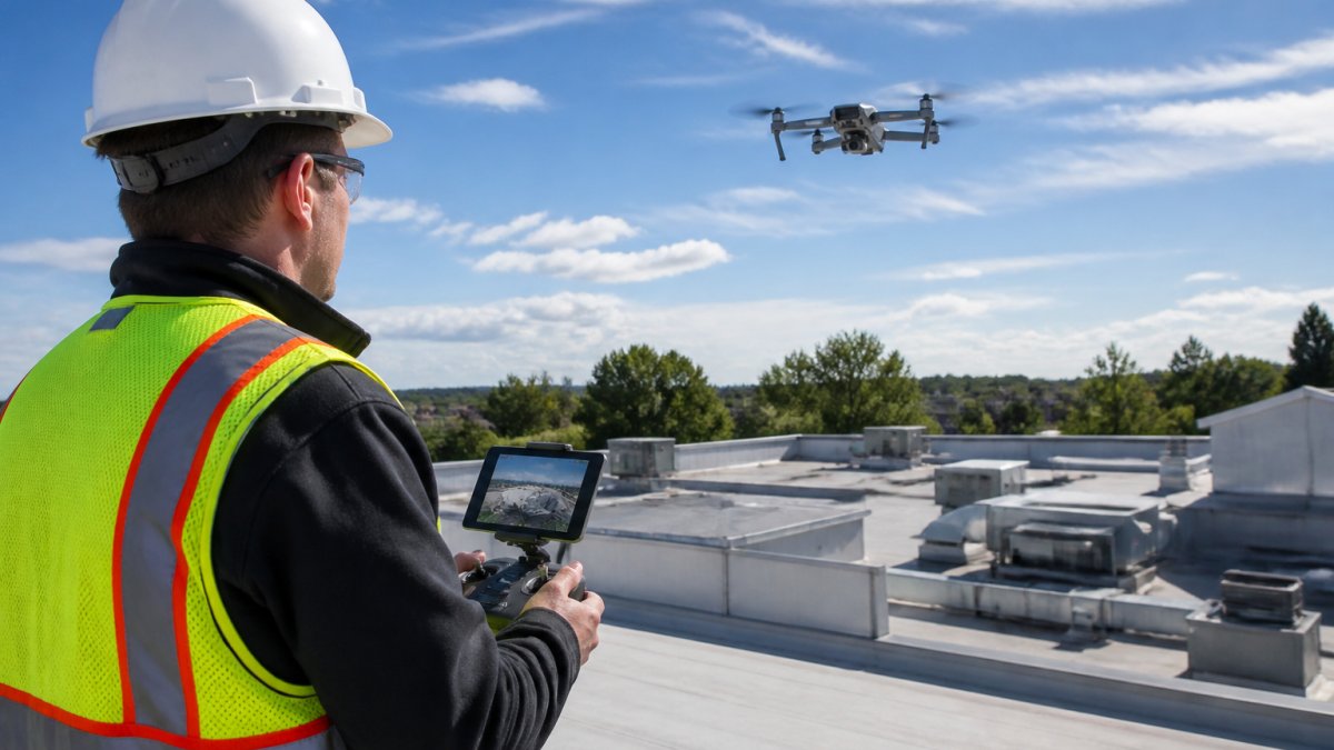
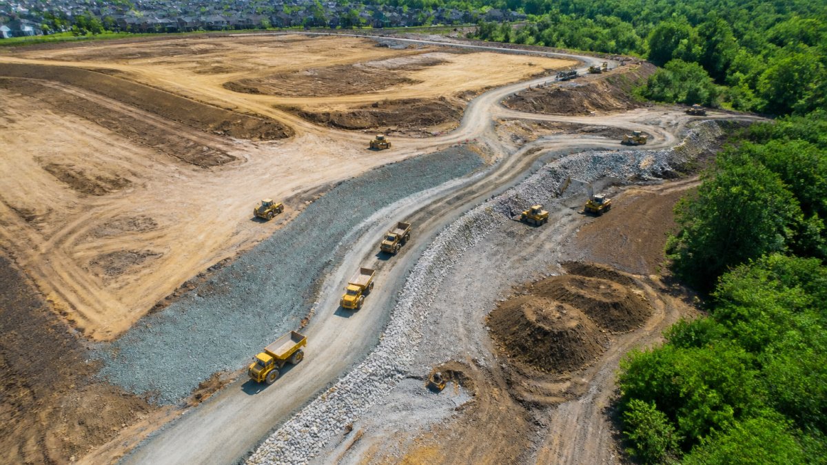
High-quality aerial photos and video to enhance real estate listings for civil engineering turn flat site data into a story buyers can grasp in seconds. A ground-level photo shows a parcel, but an aerial view shows access roads, drainage, and how the land sits against its neighbors. That context is what remote buyers and developers actually need before they commit.
Aerial photos are images captured from an aircraft or drone flying above a site, giving a top-down or angled view of the whole property. For civil engineering listings, that view does work a ground camera cannot.
Why does it matter so much? Because most buyers of engineering-grade land are not local. They weigh risk from a desk miles away. An aerial set answers their first three questions before they ever call:
- Where does the site connect to public roads?
- What surrounds the parcel, and what could limit development?
- How does the terrain drain, slope, and sit in the larger area?
A listing without those answers feels incomplete. A listing with them feels trustworthy.
Building a Real Estate Aerial Photography Shot List
A real estate aerial photography shot list is the plan that keeps a drone shoot focused and repeatable. Start with the shots every civil engineering listing needs, then add site-specific angles. A weak shot list produces pretty pictures that miss the point. A strong one captures the facts a buyer must see.
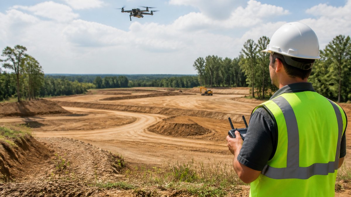
Build your list around these core shots:
- Wide establishing shot of the full parcel and its edges
- Access shots showing driveways, road frontage, and entry points
- Context shots capturing neighboring parcels and land use
- Terrain shots highlighting slope, drainage, and grade changes
- Boundary shots marking corners and lot lines
Angles That Show Site Access and Surroundings
Angled shots beat straight-down views for showing access. A 45-degree angle reveals road frontage and how vehicles would enter the site. Fly a low pass along the property line to document fencing, easements, and utility runs. Then pull up for a wider frame that shows the whole neighborhood.
What most guides miss is the value of consistent angles across a shoot. When every shot uses the same height and direction, buyers can compare parcels fairly.
Drone Video for Real Estate Listings: Length, Framing, and Flow
Drone video for real estate listings works best at 60 to 90 seconds for a single property. That length tells the story without losing the viewer. Longer cuts suit large developments or multi-parcel offerings, where buyers expect a fuller walkthrough.
Framing follows a simple rule: open wide, then move in. Start high to establish the site, then descend toward the details that matter, like access points and finished work. Keep the motion smooth and slow. Jerky footage reads as amateur and undercuts trust.
Flow matters as much as length. A good edit moves in a logical path:
- Wide establishing shot of the whole site
- Slow push toward the main access
- Pan across key features or progress
- Pull back to close on the full context
Pair the video with a few strong stills pulled from the same flight. Most listing platforms favor a short video plus a clean photo set.
Drone Mapping vs. Aerial Photography: Which Does the Listing Need?
Drone mapping and aerial photography serve different jobs, and the right choice depends on what the buyer needs to decide. Drone mapping is the process of capturing overlapping images to build measurable maps and 3D models of a site. (Aerial Imaging and Mapping) Aerial photography captures single, high-quality views for marketing and general context.
Here is how they compare for a civil engineering listing:
| Need | Best Choice | Why |
|---|---|---|
| Marketing and curb appeal | Aerial photography | Polished, easy-to-read visuals |
| Square footage and measurements | Drone mapping | Measurable, scaled output |
| Construction progress tracking | Both | Photos for updates, maps for accuracy |
| Terrain and drainage study | Drone mapping | Elevation and slope data |
| Quick listing turnaround | Aerial photography | Faster to capture and edit |
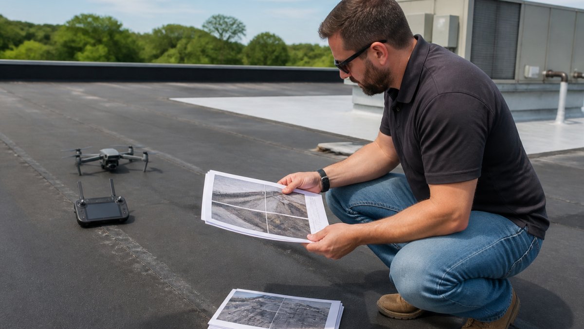
Most listings need both. Use photography to sell the site and mapping to prove the numbers. If a buyer asks for exact acreage or roof measurements, mapping answers that question. If the goal is a compelling listing that draws interest, photography leads.
Drone Photography Pricing for Real Estate: What Drives the Quote
Drone photography pricing for real estate depends on scope, not a single flat rate. Several factors move the quote up or down, and knowing them helps you budget and compare fairly.
The main cost drivers:
- Site size and how much airtime the property needs
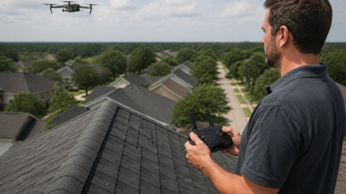
- Deliverables such as stills, video, mapping, or roof reports
- Travel to and from the location
- Editing depth and turnaround speed
- Repeat visits for construction progress updates
A small single-parcel shoot costs less than a large development with mapping and monthly updates. Fast turnaround and detailed reports add value, and that shows in the quote. Ask for a written scope so you know exactly what you are paying for.
Pricing is available on our website. Request a quote and we will match the scope to your listing.
How to Prepare a Site for a Drone Shoot
Preparing a site before the drone arrives saves time and produces cleaner footage. A little groundwork goes a long way toward a smooth shoot day.
Follow these steps:
- Clear the launch area of people, vehicles, and loose debris
- Confirm access and any gate codes with the site contact
- Note overhead power lines and tall structures
- Mow or tidy the main areas you want to feature
- Share the shot list and any priority angles in advance
- Check the weather and have a backup date ready
Good prep also means clear communication. Tell the pilot what the listing must show, and flag any no-fly zones or privacy concerns. A prepared site and a clear brief cut editing time and get your media back faster.
Our FAA Part 107 certified and fully insured crews handle the flight safely, and we deliver accurate media within 24 hours so your listing goes live on schedule.
A civil engineering listing lives or dies on how well it answers buyer questions. High-quality aerial photos and video do that work, showing access, surroundings, and terrain in a way ground images never can. Lake County Aerial Solutions brings FAA Part 107 certification, fully insured operations, and advanced equipment like the DJI Air 3S to every shoot, with accurate media delivered within 24 hours. Get started with Lake County Aerial Solutions and give your next listing the aerial edge it deserves.
Frequently Asked Questions
How do aerial photos improve a real estate listing?
Aerial photos show the whole property in one frame: the parcel boundaries, access roads, nearby utilities, and how the site sits relative to surrounding development. For civil engineering listings, that context answers buyer questions before a site visit. High-quality aerial photos also make a listing stand out in search results, and they give remote buyers enough visual evidence to shortlist a property without traveling to see it.
What is the difference between drone mapping and aerial photography?
Aerial photography produces images for marketing and visual review. Drone mapping captures overlapping images and processes them into measurable outputs like orthomosaics, topographic surfaces, and square footage data. A listing may need both: photos and video to attract buyers, and mapping data to support due diligence. Ask your provider which deliverable you are getting, because the two serve different purposes and are priced differently.
How much does drone photography pricing for real estate typically depend on?
Quotes usually reflect the size of the property, the number of deliverable types (photos, video, mapping, roof reports), travel distance, and turnaround time. A single-parcel photo set costs less than a multi-building site with video and mapped measurements. Request a quote with the deliverables listed so you can compare like for like, and confirm whether editing and delivery time are included in the figure.
How should a property be prepared for a drone photo shoot?
Clear loose debris and park vehicles away from the main structures so the site reads cleanly from above. Confirm the drone operator holds FAA Part 107 certification and carries insurance before the flight. Provide site access, gate codes, and any airspace restrictions in advance. If the property is an active construction site, schedule the shoot around peak work hours so the imagery shows progress clearly rather than a crowd of equipment.