 how-to
Drone Roof Inspections for Property Management
Table of Contents
- What You'll Need Before Scheduling a Drone Roof Inspection
- FAA Part 107 Drone Roof Inspection Requirements
- Benefits of Drone Roof Inspections for Property Managers
- Aerial Roof Measurement Report Accuracy
- Step-by-Step: Running a Drone Roof Inspection Workflow
- What Drone Roof Inspections Cost and How to Scale Across a Portfolio
- Common Mistakes Property Managers Make with Aerial Roof Documentation
- Conclusion
- Frequently Asked Questions
Last Updated: September 30, 2026
What You'll Need Before Scheduling a Drone Roof Inspection
Safe and detailed aerial imagery for roof inspections for property management starts with preparation, not the flight itself. Before you book a provider, gather three things: a current roof plan or prior inspection report, a clear scope of what you need documented, and written confirmation of the pilot's credentials and insurance.
FAA Part 107 Drone Roof Inspection Requirements
FAA Part 107 drone roof inspection requirements govern every commercial flight over a property, and they are non-negotiable for anyone you hire. The rule, issued by the Federal Aviation Administration, requires commercial drone operators to hold a Remote Pilot Certificate and follow operational limits on altitude, airspace, and visibility. For property managers, the practical question is not whether the pilot is certified, it is whether the certification, the airspace authorization, and the insurance all line up before the drone leaves the ground.
The Part 107 Certification and What It Covers
Part 107 certification confirms a pilot has passed the FAA's aeronautical knowledge exam and understands airspace classes, weather minimums, and crew resource management. It does not certify inspection quality, only legal flight competence. Ask for the certificate number and verify it through the FAA's public Airman Registry before the flight.
- Altitude: Flights must stay at or below 400 feet above ground level unless within 400 feet of a structure, in which case the drone may fly to 400 feet above the structure's uppermost limit.
- Visual line of sight: The remote pilot in command must maintain unaided visual contact with the aircraft at all times. First-person-view goggles alone do not satisfy this, a visual observer is required if the pilot cannot see the drone directly.
- Speed: Maximum groundspeed of 100 mph, which is rarely a constraint for roof work but appears in the rule.
- Night operations: Permitted only if the drone has anti-collision lighting visible for at least three statute miles and the pilot has completed the required updated knowledge training.
- Operations over people: Flying directly over non-participating people is restricted unless the aircraft meets specific category requirements. On occupied multi-family properties, this is the rule that most often reshapes the flight plan.
Airspace, Waivers, and LAANC Authorization
Airspace near airports or controlled zones may require FAA authorization before flight. Most controlled airspace now uses the Low Altitude Authorization and Notification Capability (LAANC), which lets a certified pilot request near-real-time authorization through an FAA-approved service supplier. If your property sits inside a LAANC grid, the pilot should be able to show you the authorization before flight.
- Section 107.29 (night): now largely addressed by updated training rather than a separate waiver, but confirm the pilot has completed it.
- Section 107.31 (visual line of sight): a waiver is required to fly beyond visual line of sight, which some large-roof or multi-building sweeps may need.
Insurance, Liability, and What to Verify Before Hiring
Beyond certification, confirm the operator carries liability coverage and can name your property ownership entity as an additional insured. Standard aviation liability policies for small commercial drones commonly carry limits in the range of $1 million per occurrence, but the specific limit and whether it covers the property manager as an additional insured is what protects you.
Records to Keep on File
For portfolio operators, the compliance paper trail is part of the asset record. Keep the pilot's certificate number, the airspace authorization or waiver reference, the COI, and the flight date and location on file with the property record. If a claim or dispute arises months later, that documentation is what establishes the inspection was performed lawfully and by an insured operator.
Benefits of Drone Roof Inspections for Property Managers
The benefits of drone roof inspections for property managers come down to three things: speed, safety, and documentation quality. A ground crew may need hours to access a steep or fragile roof; a drone captures the same area in minutes.
- Safety: No staff on ladders or harnesses for routine assessments
- Speed: Full roof capture in a single site visit
- Documentation: High-resolution imagery creates a dated visual record for every asset
- Cost control: Fewer emergency callouts when issues are caught early
- Risk mitigation: Thermal screening can flag moisture and insulation gaps before they spread
Aerial Roof Measurement Report Accuracy
Aerial roof measurement report accuracy depends on the capture method, the processing software, and the pilot's technique. Modern photogrammetry and orthomosaic mapping routinely produce measurements that match manual verification closely, but only when the flight is planned correctly.
How Orthomosaic Mapping Reduces Measurement Error
Orthomosaic mapping stitches overlapping images into a single geometrically corrected map. This removes the distortion that single photos introduce, so roof pitch, ridge length, and edge measurements stay consistent across the report.
When Drone Measurements Beat Satellite Imaging
Satellite imaging struggles with tree cover, steep pitch, and complex roof geometry. Drone capture flies below those obstructions and captures the actual surface. For commercial properties with HVAC units, vents, and layered sections, aerial capture wins.
Step-by-Step: Running a Drone Roof Inspection Workflow
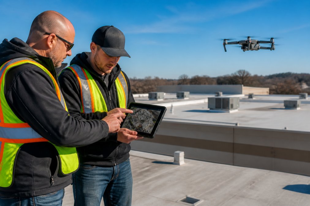
Running a drone roof inspection workflow means moving from scope to capture to reporting without losing data between stages. The process below outlines a typical workflow to deliver accurate roof reports with square footage and edge measurements.
Step 1: Set the Scope and Safety Protocols
Define which buildings, which roof sections, and what deliverables you need. Confirm safety protocols: site access, no-fly zones, and a pre-flight briefing with on-site staff.
Step 2: Capture and Process the Aerial Data
The pilot flies a planned grid, capturing overlapping high-resolution and thermal images. Processing converts those images into an orthomosaic map and a measurement report.
Step 3: Route Findings into Your PMS and Claims Process
Attach the report and imagery to the property record in your property management software. Flag defects for work orders and route insurance-relevant findings to your claims handler the same day.
| Stage | Typical Duration | Output |
|---|---|---|
| Scope and scheduling | 1-2 days | Confirmed flight plan |
| On-site capture | 30-90 minutes | Raw aerial and thermal images |
| Processing and reporting | 1-2 days | Measurement report, orthomosaic map |
| PMS and claims routing | Same day | Work orders, claim documentation |
What Drone Roof Inspections Cost and How to Scale Across a Portfolio
Pricing for drone roof inspections depends on quantity, roof complexity, travel distance, and delivery timeline, so most providers quote per property rather than per flight. Rather than chase a generic industry average, ask each provider to break the quote into its cost drivers so you can compare apples to apples across a portfolio.
The Cost Drivers That Actually Move the Quote
- Roof area and complexity: A flat membrane roof on a single building is the cheapest capture. Steep-slope, multi-tier, or heavily obstructed roofs with HVAC clusters, skylights, and parapet walls take longer to fly and process.
- Deliverable type: Raw imagery is cheapest. An orthomosaic map, a measurement report with square footage and edge lengths, and a thermal overlay each add processing time and cost.
- Travel and mobilization: A provider two hours away charges for the drive. A local provider with a service radius that covers your portfolio avoids that line item.
- Turnaround: Standard delivery is cheaper than rush. Post-storm or pre-closing inspections often need expedited processing.
- Volume: Per-property pricing typically drops when you commit to a batch or an annual schedule rather than one-off flights.
Why Portfolio Scaling Changes the Math
Scaling across a portfolio changes the economics in ways single-site inspections never reveal. A single building inspection carries fixed setup costs, mobilization, flight planning, processing setup, that do not shrink with volume. Batching ten properties in one geographic sweep spreads those fixed costs across every asset and shortens total turnaround.
- Annual full-portfolio capture for baseline documentation and capital planning.
- Post-storm rapid response for affected assets only, triggered by a weather event.
- Pre-acquisition or pre-disposition capture for due diligence on individual assets.
The ROI Question Competitors Skip
The cost-benefit case for aerial inspection at portfolio scale rests on avoided cost, not on the inspection fee itself. Three mechanisms drive the return:
- Avoided emergency callouts. Catching a membrane tear or flashing failure during a scheduled sweep is cheaper than an emergency repair after water intrusion reaches tenant space.
- Accurate material takeoffs. A measurement report with verified square footage and edge lengths reduces over-ordering and change orders on re-roof projects.
- Claims documentation. Dated, high-resolution imagery captured before and after a storm strengthens an insurance claim and reduces the back-and-forth with adjusters.
The cheapest quote rarely wins at portfolio scale. Batch scheduling, consistent reporting formats, one vendor relationship, and a scheduled cadence save more than a lower per-flight rate, and the real return shows up in avoided emergency spend and cleaner claims, not in the inspection line item.
Common Mistakes Property Managers Make with Aerial Roof Documentation
The biggest mistake is treating aerial imagery as a one-time purchase instead of a maintenance record. Roofs change; a report from three years ago tells you nothing about current conditions.
Other frequent errors:
- Skipping the PMS integration step, leaving reports stranded in email
- Accepting satellite-only measurements for complex roofs
- Failing to confirm insurance and Part 107 certification in writing
- Requesting imagery without thermal screening when moisture is suspected
- Ignoring post-storm rapid response windows, when documentation matters most
Conclusion
Managing roof risk across a portfolio means capturing conditions accurately and acting on them quickly. Lake County Aerial Solutions delivers FAA Part 107 certified, fully insured drone roof inspections with accurate square footage and edge measurements, high-resolution visual data, and 24-hour turnaround so your maintenance and claims decisions stay on schedule. We fly advanced equipment like the DJI Air 3S and back every job with real documentation, not guesswork.
Frequently Asked Questions
How much does a roof drone survey cost?
There is no single flat rate. Pricing depends on the number of buildings, roof square footage, turnaround time, and whether you need a full measurement report or basic imagery. Portfolio-wide contracts usually cost less per building than one-off jobs. Lake County Aerial Solutions publishes current rates on its pricing page, so request a free quote with your property list and deadline to get an exact figure.
Do I need an FAA Part 107 license to conduct commercial roof inspections?
Yes. Any drone flight done for business purposes, including paid roof inspections, falls under FAA Part 107 rules. The remote pilot must hold a current Remote Pilot Certificate, keep the aircraft within visual line of sight, and follow airspace restrictions. If you hire a provider, ask for proof of certification and insurance before the flight. Lake County Aerial Solutions is FAA Part 107 certified and fully insured.
How accurate are aerial roof measurement reports compared to manual measurements?
Modern aerial measurement reports using orthomosaic mapping and high-resolution imagery typically match physical measurements closely for total square footage, roof pitch, and edge lengths. Accuracy depends on image overlap, resolution, and processing quality. For steep or complex roofs with many penetrations, ask the provider to flag any areas where field verification is recommended. A good report states its tolerances instead of claiming perfect precision.
Can drone imagery detect structural defects that are invisible to the naked eye?
High-resolution aerial imagery can reveal cracked shingles, ponding water, separated flashing, and debris that are hard to spot from the ground. Thermal screening adds moisture detection by showing temperature differences across the roof surface. Drones cannot confirm every defect on their own, so treat the imagery as a triage tool: it tells you which roofs need a closer look from a roofer or engineer before problems grow.