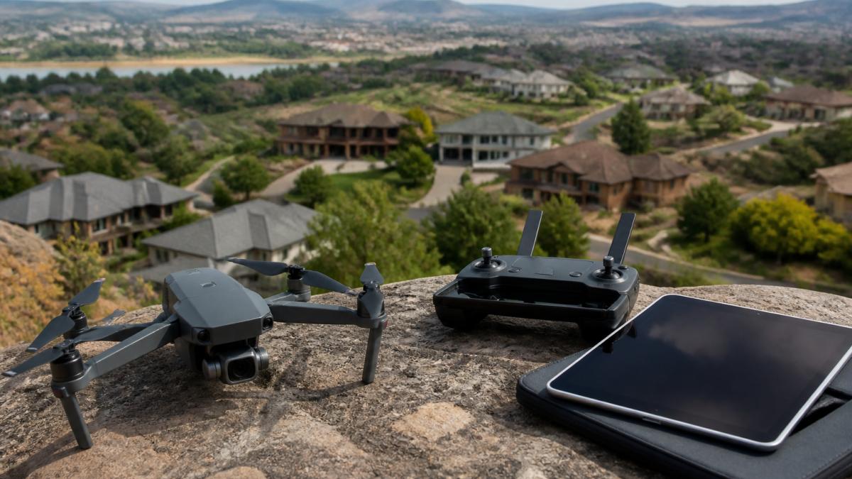
 ultimate-guide
Benefits of Drone Photography for Real Estate in 2026
Table of Contents
- Why Drone Photography Is Reshaping Real Estate Marketing
- 7 Benefits of Drone Photography for Real Estate Listings
- FAA Part 107 Drone Regulations Every Agent Should Know
- Drone Roof Inspection Reports: Accurate Data for Commercial and Residential Properties
- Real Estate Drone Photography Pricing: What Affects Your Investment
- How Drone Photography Integrates With Virtual Tours and Digital Marketing
- How to Hire the Right Drone Photography Service
- Frequently Asked Questions
Last Updated: October 4, 2026
Why Drone Photography Is Reshaping Real Estate Marketing
Drone photography for real estate starts with a shift in perspective: buyers see the whole property, not just the front door.
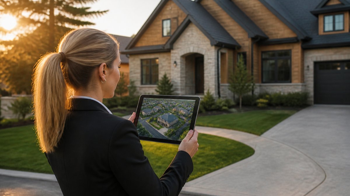
Aerial photography captures images and video from an unmanned aerial vehicle to document a property, its boundaries, and its surroundings from above, changing how a buyer evaluates a home before scheduling a showing.
Drone imagery answers what buyers actually ask, How big is the lot? What's next door? Does the roofline match the listing photos?, in one frame.
7 Benefits of Drone Photography for Real Estate Listings
- Property boundaries made visible. Buyers see exactly where the lot line sits.
- Neighborhood context. Schools, parks, and nearby roads appear in a single wide-angle shot.
- Stronger curb appeal. Aerial angles flatter landscaping and rooflines that ground shots flatten.
- Higher listing engagement. Aerial photos and video hold attention longer than static ground images.
- Faster listing velocity. Buyers arrive at showings already sold on the location.
- Marketing collateral that works harder. The same footage feeds flyers, social posts, and email.
- Remote buyer confidence. Out-of-state buyers can evaluate a property without a flight.
Aerial Imagery That Shows Property Boundaries and Neighborhood Context
A drone captures the lot, fence line, tree canopy, and surrounding streets in one frame, impossible from a standing position.
For land parcels and acreage, remote buyers need to see access roads, drainage, and adjacent land use. We have handled full aerial neighborhood inspections for out-of-state buyers before purchase, and the imagery is often the deciding factor.
Higher Listing Engagement and Faster Sales
Aerial visuals lift listing engagement because a wide-angle shot shows the home in its setting, what a buyer scrolling listings wants to understand first.
The result is fewer wasted showings: buyers who see the boundaries and neighborhood up front self-select, shortening the path from listing to offer.
FAA Part 107 Drone Regulations Every Agent Should Know
Any commercial drone flight requires a Remote Pilot Certificate under FAA Part 107 regulations. This is not optional, and it is not a formality. An agent who hires an uncertified operator inherits real risk, and most guides on drone photography for real estate skip this entirely. Here is what the rules actually require and where the liability lands.
What Part 107 Actually Governs
Part 107 is the FAA's rule set for small unmanned aircraft systems (under 55 pounds) flown commercially. Key provisions for real estate:
- Remote Pilot Certificate. The person flying must hold a current certificate and pass a recurrent knowledge test every 24 months.
- Altitude ceiling. Flights are capped at 400 feet above ground level unless within 400 feet of a structure, in which case the limit rises to 400 feet above the structure's immediate uppermost limit.
- Visual line of sight. The pilot (or a trained visual observer in communication with the pilot) must maintain unaided sight of the aircraft at all times. No flying past the tree line on autopilot.
Airspace: The Part That Bites Agents
Most residential listings sit in Class G (uncontrolled) airspace. Complications start near an airport, heliport, or controlled zone.
- Class B, C, D, and surface Class E airspace require prior authorization through the FAA's Low Altitude Authorization and Notification Capability (LAANC) system or a written airspace authorization. LAANC approvals are often near-instant for low altitudes, but they are not automatic, the pilot has to request them.
- Class G generally does not require authorization, but other restrictions (temporary flight restrictions, stadium TFRs, wildfire TFRs) can still apply on any given day.
- Special use airspace, military operations areas, restricted zones, prohibited zones, is off-limits without specific clearance.
A certified pilot checks airspace before every flight. An uncertified hobbyist flying under the recreational exception cannot legally fly a commercial real estate job.
Where the Liability Actually Lands
The pilot is not the only one at risk, the listing agent and brokerage can be pulled in too.
- If the flight violates airspace rules, the FAA can pursue the remote pilot. But if the agent hired an unlicensed operator, that fact surfaces in any investigation and can affect the agent's professional exposure.
- If the drone damages property or injures someone, insurance is the dividing line. A certified pilot typically carries liability coverage; a hobbyist often does not. Without coverage, the injured party may look to the party with assets, the agent or brokerage.
- MLS and platform rules increasingly require disclosure that aerial imagery was captured by a Part 107 certified pilot. Submitting imagery from an unlicensed flight can trigger removal and, in some cases, disciplinary action.
What to Verify Before Every Shoot
A short pre-flight checklist protects the agent as much as the pilot:
- Current Part 107 Remote Pilot Certificate (verify the certificate number, not just a photo of a card)
- Certificate of insurance with general liability and aviation-specific coverage
- Confirmation the pilot will check airspace and obtain LAANC authorization where required
This is the difference between a marketing asset and a liability event, the part of drone photography most agents never see until something goes wrong.
Drone Roof Inspection Reports: Accurate Data for Commercial and Residential Properties
A drone roof inspection report delivers measured square footage and edge measurements without anyone climbing a ladder, for property managers, the difference between a guess and a budget.
Measurements depend on the flight plan, camera calibration, and processing software.
Every report includes square footage and edge measurements. For commercial properties with multiple roof sections, that breakdown matters when pricing a replacement.
Real Estate Drone Photography Pricing: What Affects Your Investment
Drone photography pricing depends on scope, travel, turnaround, and deliverables, not a flat rate. A residential exterior shoot costs less than a full commercial roof report with measured data.
The factors that move the number:
- Property size and complexity. Larger roofs and multi-building sites take longer to capture.
- Deliverable type. Photos, video, and measured roof reports are different products.
- Turnaround time. Rush delivery for a listing going live tomorrow changes the schedule.
We offer a free quote so you know the number before you commit. We deliver accurate drone data within 24 hours, the window most agents need when a listing goes live.
| Deliverable | Typical Use | What Drives Cost |
|---|---|---|
| Aerial photo set | Residential listing | Property size, editing scope |
| Aerial video | Listing tour, social | Flight time, editing |
| Measured roof report | Maintenance planning | Roof complexity, square footage |
| Construction progress update | Job site tracking | Frequency, site access |
How Drone Photography Integrates With Virtual Tours and Digital Marketing
Aerial media slots into virtual tours and digital marketing only when files are shot and edited for the platforms they will live on. The detail below separates aerial media that performs from aerial media that gets ignored.
Technical Specs That Actually Matter for Listing Platforms
Listing platforms and MLS systems have practical limits that affect how aerial imagery is captured and delivered:
- Resolution. Shoot at the highest native resolution the aircraft offers, commonly 20MP or higher for stills and 4K or above for video. Downsampling to platform requirements preserves detail; upscaling from a lower-resolution original does not.
- Aspect ratio. Most MLS and portal displays favor a 3:2 or 4:3 still. Video is typically 16:9. Shoot wide enough that a 16:9 crop of a 4:3 still does not cut off the roofline or the lot boundary.
- File size. Many MLS systems cap individual image uploads (often in the 5-10 MB range) and impose total listing media limits. Deliver edited JPEGs sized to the platform rather than 40 MB RAW exports.
A provider who delivers full-resolution files with no platform-specific exports hands the agent a conversion job. Ask what the deliverables actually are.
Post-Production: What Makes a 'Good' Drone Photo
The difference between a usable aerial and a listing-quality aerial is almost entirely in post:
- Lens correction and horizon leveling. Wide drone lenses introduce barrel distortion and a tilted horizon if the gimbal was not perfectly level. Both are correctable, but only if the editor does it.
- Exposure blending. A single frame rarely holds both a bright sky and a shadowed roofline. Bracketed exposures blended in post preserve both.
- Color grading. Neutral white balance, controlled contrast, and restrained saturation. Over-graded aerials look artificial and undercut trust.
When vetting a provider, ask to see the before-and-after of a single frame. The edit is the product.
Feeding Virtual Tours, Social, and Print From One Flight
A single aerial shoot can produce assets for several channels if the capture plan anticipates them:
- Virtual tour opener. A 10-15 second aerial clip that establishes the neighborhood, then cuts to the front door. Keep it under 15 seconds, tour drop-off is steep in the first 20 seconds.
- Listing hero image. One wide aerial, edited to platform spec, showing the home in its lot context.
- Social cutdowns. Vertical 9:16 crops of the same footage for short-form video. Shoot with headroom so the vertical crop does not lose the property.
- Print and flyers. A high-resolution still at 300 DPI for the print size used. A 20MP still covers a full-page flyer comfortably; a social-sized export does not.
A Note on Seasonal Capture
Aerial imagery is not season-neutral. Summer aerials show full tree canopy and green lawns; winter aerials show lot lines, rooflines, and drainage that foliage hides. For listings that sit across seasons, a provider who can re-shoot the same angle in a different season gives the agent a matched pair, year-round context without a full re-shoot.
How to Hire the Right Drone Photography Service
Hiring the right drone service comes down to four checks: certification, insurance, turnaround, and deliverable quality.
- Confirm the pilot holds a current FAA Part 107 Remote Pilot Certificate
- Ask for proof of insurance before the shoot
- Confirm the turnaround window in writing
- Review sample roof reports and listing photos, not just marketing reels
A common mistake is choosing on price alone. The cheapest quote often comes from an uncertified operator with consumer gear and no insurance.
Lake County Aerial Solutions is FAA Part 107 certified and fully insured, serving real estate, construction, and commercial property clients across the region.
Frequently Asked Questions
Does drone photography help sell houses faster?
Aerial images give buyers an immediate sense of the property's boundaries, lot size, and neighborhood context, which reduces back-and-forth questions and shortens the decision cycle. Listings with drone photography often see higher engagement because the bird's-eye view answers questions that ground photos cannot. For properties with acreage, water access, or unique landscape features, the impact on listing velocity is especially clear.
What are the FAA Part 107 requirements for real estate drone pilots?
Any commercial drone flight, including real estate photography, requires the pilot to hold a Remote Pilot Certificate under FAA Part 107. This involves passing a knowledge test, registering the drone, and following operational rules like flying below 400 feet and within visual line of sight. Hiring a certified pilot protects you from liability if something goes wrong during a shoot.
How does aerial photography impact property value perception?
Aerial photography frames the property in its full context, showing lot size, proximity to amenities, and landscape architecture that ground-level shots miss. This broader perspective helps buyers perceive greater value, especially for properties with acreage, waterfront access, or commercial potential. High-resolution imagery also signals professional marketing, which can justify a higher asking price in a competitive market.
What should be included in a real estate drone photography package?
A solid package includes high-resolution still photos, drone videography, and a mix of wide-angle shots and panoramic views. For commercial properties, ask for roof inspection reports with square footage measurements. Confirm the provider delivers edited files within 24 hours, holds FAA Part 107 certification, and carries liability insurance. Some providers also offer aerial mapping or photogrammetry for land parcels.
Aerial imagery is becoming the baseline expectation for serious listings, and the agents who move first gain the advantage. Lake County Aerial Solutions delivers FAA Part 107 certified drone photography, measured roof reports with square footage, and high-quality aerial media within 24 hours. Our fully insured operations and DJI Air 3S equipment give you assets you can publish with confidence. Request a free quote and get your next listing in the air.