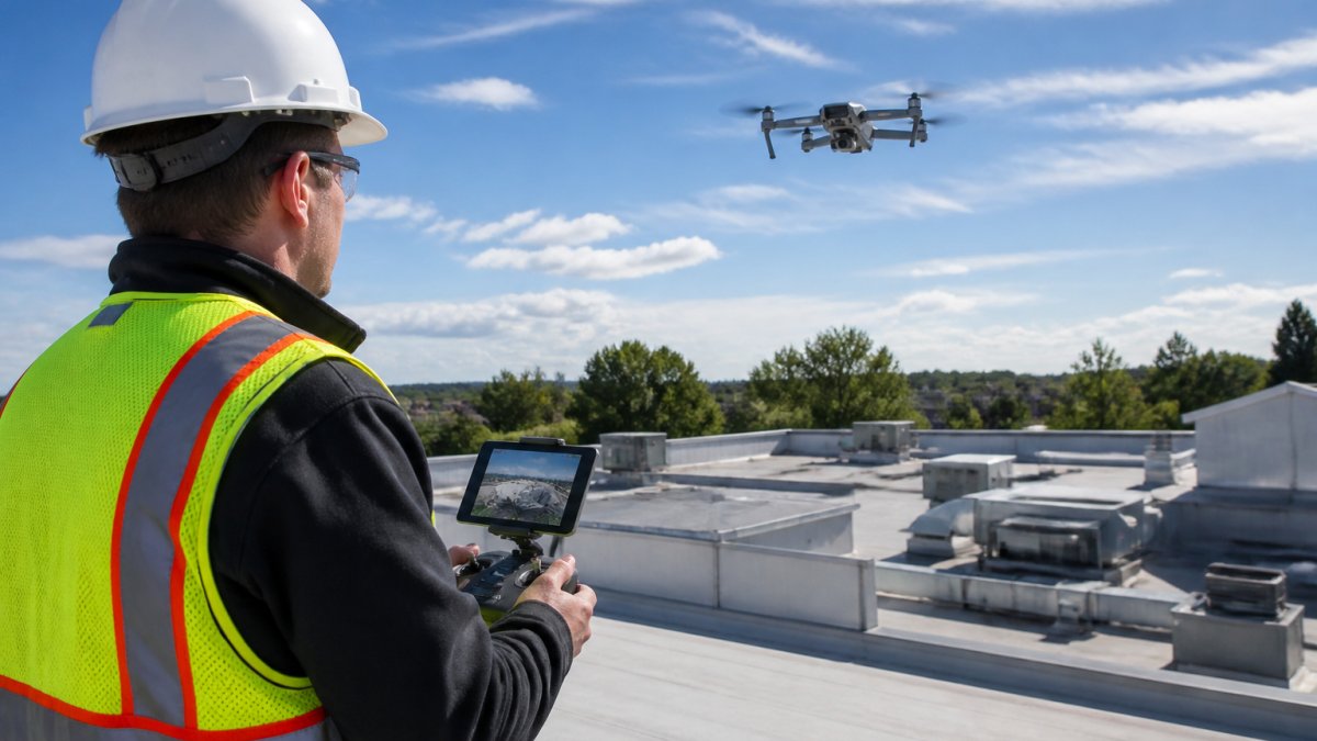
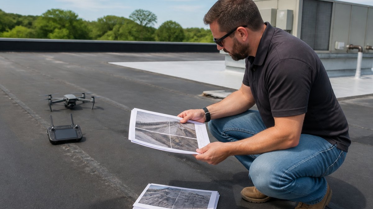
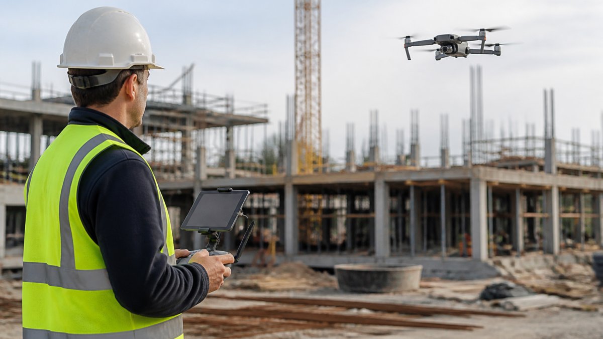
 listicle
Best Drone Services for Construction 2026: 7 Top Picks
Table of Contents
- What to Look for in Construction Drone Services in 2026
- Top Drone Services for Construction: Quick Comparison
- 1. Lake County Aerial Solutions: Best for 24-Hour Turnaround
- 2. Propeller Aero: Best for Data-Driven Project Management
- 3. ZenaDrone: Best for Infrastructure and Bridge Projects
- 4. MFE Inspection Solutions: Best for Commercial Drone Hardware and Support
- Construction Drone Service Cost: What to Expect in 2026
- Drone Construction Progress Tracking: How It Works
- Frequently Asked Questions
Last Updated: October 13, 2026
What to Look for in Construction Drone Services in 2026
Choosing among the best drone services for construction in 2026 comes down to five things: certification, turnaround time, deliverable quality, insurance, and job-site understanding.
A construction drone service captures aerial imagery, mapping data, and inspection documentation of a job site using unmanned aircraft, then processes it into usable deliverables. The FAA regulates commercial drone flight under Part 107, which requires every pilot to hold a remote pilot certificate, the baseline, not a bonus.
Here is what separates a provider you keep from one you replace after a single flight:
- FAA Part 107 certification for every pilot on the crew
- Turnaround time measured in hours, not weeks
- Deliverables that match your workflow: orthomosaic maps, 3D models, or straight progress photos
Top Drone Services for Construction: Quick Comparison
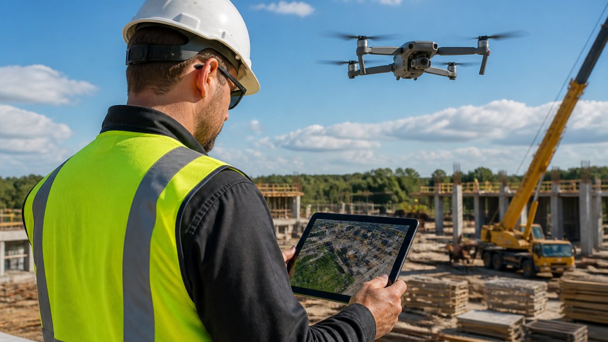
Most roundups mix three different things: drone hardware vendors, software platforms, and actual flight-service companies. That mix is why so many buyers finish a list and still cannot tell who will show up on their site next Tuesday. The table below separates those categories and compares providers on what they deliver, how fast, where they operate, and how they price.
| Provider | Category | Best For | Service Area | Typical Deliverables | Turnaround | Pricing Model |
|---|---|---|---|---|---|---|
| Lake County Aerial Solutions | Flight service | 24-hour progress documentation and roof reports | Regional (Lake County and Northwest Indiana) | Aerial photos/video, progress imagery, roof reports with square footage and edge measurements | Within 24 hours of flight | Per-project and recurring schedule; see pricing page |
| Propeller Aero | Software + data platform | Teams that want aerial data feeding a project management workflow | Software, not a flight crew | Orthomosaics, 3D models, volume and progress data via platform | Depends on who flies and processes | Platform subscription; contact for pricing |
| ZenaDrone | Hardware + service | Infrastructure, road, and bridge work | Varies by engagement | Survey, inspection, and progress-monitoring outputs | Contact for terms | Contact for pricing |
| MFE Inspection Solutions | Hardware + support | Firms building an in-house drone program | Equipment and support, not turnkey flights | Hardware, payloads, and support for self-flown programs | N/A (you fly) | Equipment and support pricing; contact for quote |
How to read this table
The single most important column is Category. A software platform and a hardware reseller are not substitutes for a flight-service provider, and vice versa.
The second most important column is Service Area. A provider that is excellent 2,000 miles away is not excellent for your site. Confirm they can legally and practically fly where your project sits before comparing anything else.
Provider selection criteria and procurement checklist
Before you request a quote from anyone on this list, run them through the same questions. The answers, not the marketing, separate a provider you keep from one you replace after a single flight.
- Certification: Does every pilot hold a current Part 107 remote pilot certificate? Ask for the certificate, not a verbal assurance.
- Insurance: What liability coverage do they carry, and will they name your company as an additional insured? Get a certificate of insurance before the first flight.
- Airspace and permissions: How do they handle controlled airspace authorizations, temporary flight restrictions, and coordination with your safety officer?
1. Lake County Aerial Solutions: Best for 24-Hour Turnaround
Lake County Aerial Solutions is our top pick for construction teams that need aerial data fast. We are FAA Part 107 certified and fully insured, and we deliver accurate drone data within 24 hours of the flight.
That turnaround matters more than most buyers expect. A progress update arriving two weeks after the pour is a historical record, not a management tool.
Key Features
- 24-hour delivery on aerial data and progress imagery
- Detailed roof reports with square footage and edge measurements
- Construction progress updates that document work as it happens
Pros and Cons
Pros: Fast turnaround, clear documentation, fully insured operations, and a team that understands real estate and construction timelines.
Cons: We are built around the Lake County and Northwest Indiana region, so national developers with sites far outside that footprint need a different vendor there.
2. Propeller Aero: Best for Data-Driven Project Management
Propeller Aero focuses on site mapping and drone-based data collection tied directly to project management software. If your team already runs a formal project management platform and wants aerial data to feed it, that integration focus is the draw.
The tradeoff is transparency: no published pricing or service tiers, so request a quote and confirm what is included before committing.
Key Features
- Construction site mapping
- Drone-based data collection
- Project-management applications
Pros and Cons
Pros: Its stated focus connects aerial data collection with project management, which suits teams that want one workflow.
Cons: No published pricing or service tier detail, so budgeting takes an extra step.
3. ZenaDrone: Best for Infrastructure and Bridge Projects
ZenaDrone publishes work on drone applications for roads and bridges, covering surveying, inspection, and progress monitoring. For infrastructure contractors, that focus matters because bridge and roadway work has different access and safety constraints than a commercial building site. Pricing is not published, so treat it as a request-a-quote engagement and confirm service terms up front.
Key Features
- Road and bridge construction applications
- Surveying and inspection use cases
- Construction progress monitoring and safety applications
Pros and Cons
Pros: Covers several construction workflows, including inspection and progress monitoring, with an infrastructure focus.
Cons: No published pricing or detailed service terms.
4. MFE Inspection Solutions: Best for Commercial Drone Hardware and Support
MFE Inspection Solutions presents commercial drone information with construction uses including site mapping, progress tracking, and surveying. This fits teams weighing hardware and support better than buyers who want a turnkey flight service. If you plan to build an in-house drone program, a hardware and support vendor makes sense; if you want imagery next week without hiring a pilot, a service provider is faster.
Key Features
- Commercial drone information
- Construction site mapping use case
- Progress tracking and surveying use cases
Pros and Cons
Pros: Identifies multiple construction applications and includes construction-specific context for commercial drones.
Cons: No service packages or pricing specified.

Construction Drone Service Cost: What to Expect in 2026
Cost is the question every construction buyer asks first and most provider pages answer last. Construction drone service pricing is not a single number, it is a function of four variables, and once you understand them you can compare quotes on equal footing instead of on the headline rate.
The four pricing models you will encounter
Per-flight or per-day. You pay for the flight itself, usually with processing included. Published industry estimates for surveying work commonly land in the range of $500 to $1,500 per day, or roughly $10 to $25 per acre, with some sources also citing an additional $3 to $8 per acre depending on the deliverable. Skyebrowse's guide to drone service pricing
Per-acre. Common for large sites where work scales with area, agricultural land, solar farms, big earthwork pads. The rate falls as acreage rises, so a 500-acre site rarely pays the same per-acre rate as a 5-acre site.
Per-project. A fixed price for a defined scope: capture, processing, and a specific deliverable set. One-time survey and mapping projects are often quoted this way, with published estimates around $1,000 to $3,000 depending on site size and required detail. UAV Coach's drone services pricing guide
Subscription or recurring schedule. A monthly or per-cycle fee for flights on a fixed cadence, weekly, biweekly, or tied to project milestones. This is the model most construction teams eventually land on, because progress tracking only works when captures are consistent.
What actually drives the price
- Site size and complexity. Acreage is the obvious driver, but obstructions, elevation changes, and occupied structures raise flight time and processing load.
- Deliverable type. Raw photos are cheapest; orthomosaics and 3D models cost more; point clouds from photogrammetry more still; LiDAR carries a premium because equipment and processing are heavier.
- Accuracy requirements. A visual progress record and a survey-grade topographic map are different products. Tighter tolerances mean more ground control, flight passes, and processing.
Total cost of ownership, not just the quote
The cheapest quote rarely wins on total cost. A single flight producing usable, scaled data beats three cheap flights producing photos you cannot measure, because the cheap flights get re-flown, re-processed, or quietly ignored.
Ask each provider to break the quote into capture, processing, and deliverables, and to state what is excluded. Travel, rush turnaround, additional processing passes, and platform access are the line items most often left out of a headline rate.
Drone Construction Progress Tracking: How It Works
Drone construction progress tracking means flying a site on a fixed schedule and comparing each capture against the last to document work progress.
The workflow is straightforward:
- Flight planning: Confirm airspace, site access, and a repeatable flight path.
- Aerial data capture: Fly the same route at the same altitude each visit.
- Data processing: Stitch images into orthomosaic maps, point clouds, or 3D models.
- Deliverables: Share progress imagery, volume calculations, and documentation with the project team.
- Change detection: Compare captures to spot work progress, stockpile movement, and schedule drift.
Construction drone mapping and site inspection now cover a lot of ground: aerial data capture, land surveying, photogrammetry, LiDAR, topographic survey work, equipment monitoring, materials tracking, and safety compliance documentation. The FAA maintains the operating rules that govern all of it, and the FAA's drone resources for commercial operators is the place to confirm current requirements before any flight.
For construction site aerial photography specifically, the practical payoff is project documentation you can hand to a client, a lender, or a remote decision-maker without caveats.
Construction teams face a real squeeze in 2026: tighter schedules, more documentation demands, and less tolerance for delays.
Frequently Asked Questions
How much do construction drone services cost in 2026?
Costs vary by provider and scope. For accurate pricing on your specific project, request a quote from your chosen provider.
Can drones create construction progress reports?
Yes. Drone construction progress tracking uses scheduled flights to capture aerial imagery, which is then processed into orthomosaic maps and 3D models. These deliverables let you compare current site conditions against previous flights, measure change detection, and share visual updates with stakeholders.
What should I look for when choosing a construction drone service?
Prioritize FAA Part 107 certification, insurance coverage, turnaround time, and the ability to deliver survey-grade data. Check that the provider offers construction drone mapping, progress tracking, and site photography as standard services. Also confirm data processing workflows and compatibility with your project management software.
Do construction drone pilots need FAA certification?
Yes. Commercial drone pilots in the U.S. must hold a Remote Pilot Certificate under FAA Part 107. This certification ensures the pilot understands airspace regulations, safety protocols, and operational limits. Always verify a provider's certification before hiring.
How often should a construction site be monitored by drone?
Frequency depends on project phase and complexity. Many teams schedule weekly flights for active construction, increasing to daily during critical milestones. For long-term infrastructure projects, biweekly or monthly monitoring may suffice. Discuss your schedule with your provider to align flight frequency with reporting needs.