 comparison
Is Professional Drone Photography Worth the Cost?
Table of Contents
- Is Professional Drone Photography Worth the Cost? The Verdict
- Real Estate Drone Photography Cost: What You Actually Pay For
- DIY Drone Photography vs Professional: The Real Cost Comparison
- Real Estate Aerial Photography Benefits That Show Up in Listings
- Drone Photography for Real Estate Listings: What a Professional Package Includes
- Safety, Permits, Insurance, and Liability: What Changes When You Hire
- Calculating Return on Investment: When Drone Photography Pays for Itself
- Conclusion: Choosing the Right Approach for Your Properties
- Frequently Asked Questions
Last Updated: October 12, 2026
Is Professional Drone Photography Worth the Cost? The Verdict
For most real estate listings, yes: the answer to is professional drone photography worth the cost is yes when the property has land, acreage, waterfront, or rooflines that ground photos cannot show. Aerial images sell the setting, not just the house, and buyers scroll listings with their eyes first.
Here is the part most guides skip: the real question is not "is drone photography expensive?" It is "which properties justify the spend and which do not?" Get that wrong and you either overspend on a starter home or undershoot on a 40-acre parcel that needs an aerial perspective to sell at all.
Real Estate Drone Photography Cost: What You Actually Pay For
Real estate drone photography cost depends on session length, deliverables, and travel, not on a flat rate. Published industry guides put standard aerial shoots in the range of $200 to $500, while broader drone-service pricing guides report $150 to $400 per hour or $300 to $1,500 per project depending on scope (UAV Coach drone services pricing guide).
Hourly, Session, and Per-Project Pricing
Most drone photographers price one of three ways:
- Session rate: A flat fee for a standard shoot, typically the simplest option for a single listing.
- Hourly rate: Common for construction progress updates and multi-building commercial work.
- Per-project rate: Used when editing, video, or measurement deliverables are part of the job.
For current rates on specific deliverables, check our pricing page, since scope drives the number more than time on site.
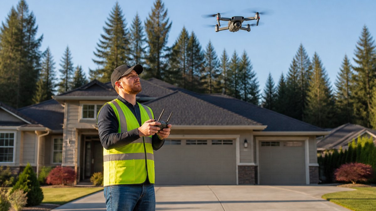
DIY Drone Photography vs Professional: The Real Cost Comparison
DIY drone photography looks cheaper until you add up everything it takes to produce a usable image. The drone is the smallest line item. Certification, insurance, editing software, and your own time are where the real money goes. Most guides stop at the sticker price. Here is the itemized version so you can calculate your own break-even.
The Itemized DIY Cost Stack
A realistic first-year DIY setup for commercial real estate work breaks down like this:
| Cost Category | Typical DIY Outlay | Notes |
|---|---|---|
| Drone (prosumer, e.g. DJI Air 3S class) | $1,000-$1,500 | Entry point for usable stills and 4K video |
| Extra batteries (3-pack) | $300-$500 | A single battery is not a shoot |
| ND filter set | $50-$100 | Required for smooth video in daylight |
| Memory cards and case | $100-$200 | Two cards minimum for redundancy |
| FAA Part 107 exam and study course | $175 exam + $100-$300 course | Recurring knowledge test every 24 months |
| Remote pilot registration | $5 per aircraft, every 3 years | Required for commercial flight |
| Liability insurance (annual) | $500-$1,500 | Required by most brokerages and MLSs |
| Editing software (annual) | $120-$300 | Lightroom, Photoshop, or equivalent |
| Replacement/repair reserve | $200-$500/year | Crashes happen; props and gimbals fail |
| Year-one total | $2,550-$5,000+ | Before you have billed a single client |
That is the floor. Add a second drone as a backup, a tablet or controller upgrade, or a commercial-grade platform like a Mavic 4 Pro with its Hasselblad 4/3-inch main camera, and the number climbs past $6,000 before you have earned anything.
The Time Cost Nobody Prices In
Equipment is only half the ledger. Producing a listing-ready aerial package means:
- Flight planning and airspace checks: 15-30 minutes per property using tools like B4UFLY or Aloft.
- Travel and setup: 30-60 minutes round trip in most markets.
- Flight time: 20-40 minutes on site for a standard residential listing.
A realistic per-listing time investment is 3-6 hours. If your billable hour as an agent is worth $50, that is $150-$300 of your own time on top of the equipment outlay, before you have paid yourself back for the drone.
The Break-Even Math
Compare that against a professional shoot at $200-$500 per listing. If your DIY setup cost $3,500 in year one and you shoot 20 listings, your equipment cost alone is $175 per listing, and you still spent 60-120 hours of your own time producing them.
The break-even is not about the drone. It is about how many listings you shoot per year and what your time is worth. Under roughly 10 shoots a year, DIY rarely pencils out once insurance, editing, and your hours are counted.
When DIY Actually Wins
DIY makes sense in a narrow set of cases: you already own a capable drone for personal use, you shoot fewer than a handful of listings a year, and those listings are simple suburban homes where a single orbit shot is enough. For anything with acreage, waterfront, commercial roofs, or a tight marketing deadline, the professional route is cheaper once you price your own time honestly.
Real Estate Aerial Photography Benefits That Show Up in Listings
Real estate aerial photography benefits show up where ground photos fail: lot lines, acreage, proximity to water, roof condition, and neighborhood context. A buyer in another state cannot walk the land.
That is why remote buyers respond to aerial media. One out-of-state buyer asked us for a full aerial neighborhood inspection before purchasing land in Northwest Indiana, and the imagery answered questions a listing description never could.
Drone Photography for Real Estate Listings: What a Professional Package Includes
Drone photography for real estate listings typically includes edited high-resolution photos, video footage, and measurement data, delivered as a finished marketing package. The deliverables matter as much as the flight.
Deliverables, Turnaround, and Service Scope
A professional package usually covers:
- Edited high-resolution aerial photos
- Video footage for listings and social media
- Construction progress documentation for ongoing projects
Turnaround separates good operators from cheap ones. A listing going live tomorrow cannot wait three days for edited images. Our standard delivery is within 24 hours because listing timelines do not move.
Safety, Permits, Insurance, and Liability: What Changes When You Hire
Hiring shifts liability, airspace compliance, and insurance onto the operator. That transfer is a large part of what you are paying for, and it is the piece DIY pilots underestimate most.
Commercial drone use falls under FAA Part 107 rules, which govern certification, airspace authorization, and operating limits (FAA Part 107 small unmanned aircraft rule). A certified, insured operator handles airspace checks and carries coverage if something goes wrong.
Calculating Return on Investment: When Drone Photography Pays for Itself
Drone photography pays for itself when it shortens time on market or attracts a buyer who never would have clicked a ground-only listing. The math is simple: compare the shoot fee against one month of carrying costs or a single price reduction. But "worth it" looks different by project type, so use the framework below instead of a single yes-or-no answer.
A Project-Type Decision Framework
| Project Type | Aerial Media Worth It? | Why |
|---|---|---|
| Land and acreage | Almost always | Aerial is often the only way to show the full parcel, access, and topography |
| Waterfront and view properties | Almost always | The setting is the value, and only an aerial shot proves it |
| Suburban single-family with a standard lot | Sometimes | One hero orbit shot can help, but ground photos carry the listing |
| Condos and dense urban lots | Rarely | Airspace restrictions and lack of distinguishing land make aerial shots redundant |
| Commercial and industrial roofs | Usually | Measurement data replaces a costly manual inspection and de-risks the buyer's diligence |
| Construction progress | Usually, on a recurring schedule | Recurring aerial updates replace site visits and create a documented timeline |
| Events and tourism marketing | Depends on venue | Outdoor venues with scale or setting benefit; indoor or generic venues do not |
| Personal travel and content | Rarely on cost alone | Value is in the content, not a transaction, so ROI is measured in engagement, not dollars |
The Carrying-Cost Math
A listing that sits an extra 30 days carries real cost: mortgage interest, taxes, insurance, utilities, and the opportunity cost of capital tied up in the property. On a $400,000 home with a 6.5% mortgage, principal and interest alone run roughly $2,500 a month, before taxes and insurance.
The same logic applies to a price reduction. A single $5,000 price cut to move a stale listing is 16 professional drone shoots.
Measurable Outcomes to Track
ROI is not a feeling. Track these signals after an aerial package goes live:
- Listing engagement: Compare click-through and saved-listing rates on aerial listings against your ground-only baseline.
- Time on market: Compare days-to-offer for comparable properties with and without aerial media.
- Lead quality: Note whether inquiries reference the aerial view or the setting specifically.
When the Math Does Not Work
Be honest about the cases where it does not. A condo with no land, no view premium, and restricted airspace will not benefit from an aerial shoot no matter how good the operator is. A starter home on a standard suburban lot may see marginal lift from one hero shot but not enough to justify a full package. And a personal travel shoot has no transaction to attach ROI to, the value is in the content itself, which is a different calculation entirely.
For a property where the aerial image drives the click, the shoot fee is a rounding error against the commission. For a property where it does not, no discount makes it worth the spend.
Conclusion: Choosing the Right Approach for Your Properties
The honest answer to whether professional drone photography is worth the cost comes down to the property, not the price tag.
At Lake County Aerial Solutions, we make that decision easy with FAA Part 107 certification, fully insured operations, and accurate roof reports delivered within 24 hours.
Request a free quote and see what your next listing looks like from the air.
Frequently Asked Questions
How much does professional drone photography cost?
Professional drone photography cost varies by project scope. Factors that affect the final price include property size, deliverable type (photos versus video versus roof reports), turnaround time, and travel distance. For specific rates, request a quote from your provider.
Is drone photography worth it for selling a house?
For properties with acreage, unique rooflines, waterfront access, or nearby amenities that ground photos cannot capture, aerial images give buyers context that standard listing photos miss. Drone photography for real estate listings helps out-of-state and remote buyers evaluate a property before scheduling a showing, which can reduce wasted showings and speed up serious inquiries. Whether it pays off depends on your price point and how competitive your local market is.
Is it better to hire a drone photographer or buy a drone?
It depends on volume. If you list one or two properties a year, hiring a professional usually costs less than buying equipment, earning a remote pilot certificate, and carrying insurance. If you list dozens of properties monthly and have time to build editing and flight skills, a consumer drone like the DJI Air 3S may eventually pay for itself. Most agents find that hiring keeps their time focused on clients rather than on flight logistics and post-production.
What should be included in a professional real estate drone photography package?
A complete package typically includes high-resolution aerial photos, video footage if requested, and edited deliverables ready for MLS upload. Some providers add roof reports with square footage and edge measurements, 3D mapping, or construction progress documentation. Turnaround time matters: 24-hour delivery keeps a listing on schedule. Confirm what is included before booking, since scope varies widely between providers.
Do real estate drone photos help a property sell faster?
Aerial images give buyers an immediate sense of lot size, property boundaries, and surrounding context that ground-level photos cannot show. For rural parcels, waterfront homes, and commercial sites, that perspective often generates more qualified inquiries. While no single marketing asset guarantees a faster sale, drone photography for real estate listings consistently improves how a property presents online, which is where most buyers form their first impression.